Garmin Navionics Vision+ | microSD™/SD™
- Description
A BRAND NEW LOOK FOR YOUR Plotter
Vibrant colors, improved interface, and combined coastal and inland content with the popular Navionics® style color palette, Garmin Navionics + Maps makes it easy to plan your route with the world's best chart maker.
COMPLETE CARD SOLUTION FOR GARMIN CARDS PLOTTER
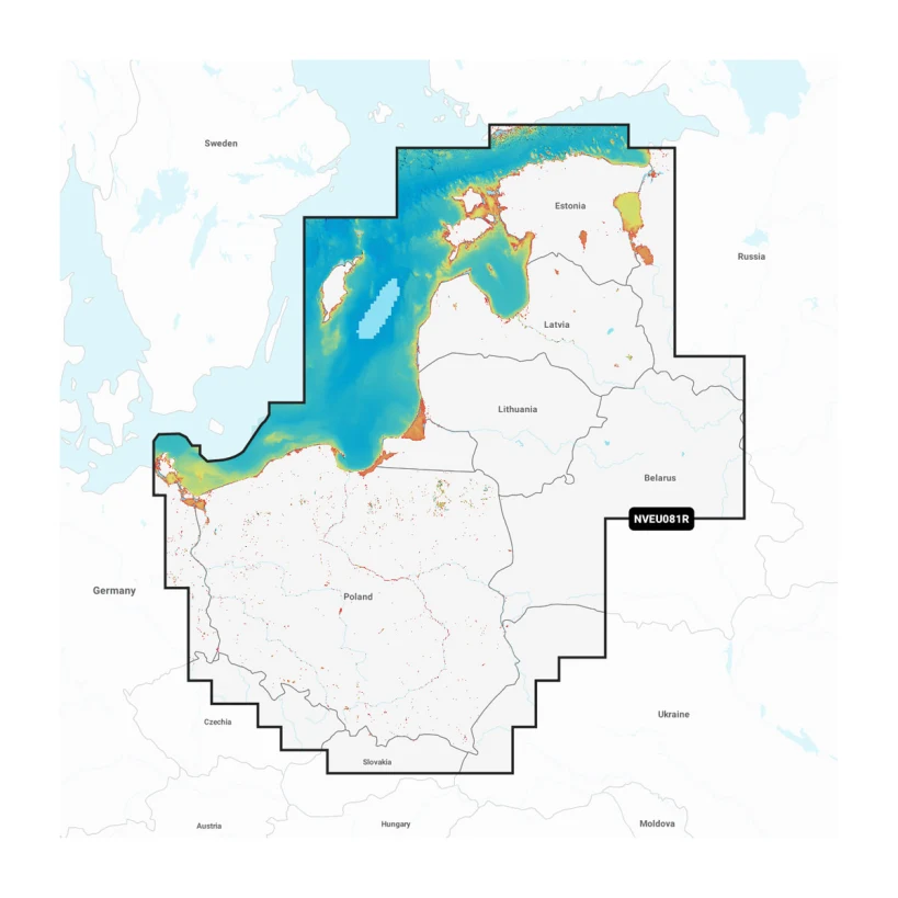
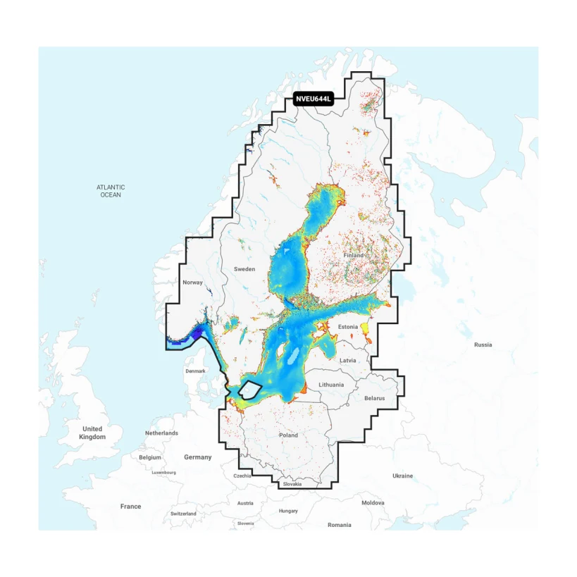
Get access to detailed maps with information about the coastal zone, lakes, rivers and other bodies of water. Integrated content from Garmin and Navionics provides chart coverage for boaters around the world.
MAPS ARE UPDATED EVERY DAY
Maps are constantly updated with new and updated content - up to 5000 updates are made every day. The included annual subscription provides access to daily map updates through the ActiveCaptain smart device app.
AUTO DIRECTION + TECHNOLOGY
Combining the best auto-routing features from Garmin and Navionics, the built-in Auto Guidance +2 technology provides a recommended route from pier to pier through canals, locks, sea gates and more.
TONE OF DEPTH
High-Resolution Depth Toning allows you to select up to 10 color shading options when viewing the depth of selected targets.
CONTOURS UP TO 0.5 M
For advanced fishing and navigation, contour lines down to 0.5m provide a clear view of body structure for improved fishing charts and detailed images of swamps, canals, harbors, wharfs and more.
To get a clear idea of the shallow water to be avoided, allows you to shade down to a user-specified depth.
ActiveCaptain
Community-provided content contains information about useful points of interest such as marinas, dangerous spots, local businesses, and more. Get advice from yachtsmen who know the local environment very well.
RELIEF TONING
This detailed toning feature combines colors and hues to provide an easy-to-understand and clearer view of the structure of the bed than just outlines.
HIGH RESOLUTION SATELLITE GALLERY
The high definition satellite image gallery gives you a better idea of the situation around you.
AERO PHOTOS
Crystal clear images of ports, piers, bridges, docks, boat ramps, dams and other nautical features from the air and ground level will help you better understand the environment.
3D FISHEYE
This underwater perspective shows the reflection of the bottom in the 3D image and the contours visible below the waterline. Link sonar data to get a custom view.
3D MARINEREYE
This view provides a 3D representation of the environment both above and below the waterline.
DYNAMIC LAKE LEVEL
Adjust the maps according to the current water level in the lake to see if certain places are accessible or too shallow to explore.